Routes at Roquetas de Mar
Coast
This is probably the most flexible route of all, depending on your starting point and where you are staying, it can be done in one direction or another. It articulates the rest of all the locations because this excursion connects them all.
This is the description from north to south, from Aguadulce to Cerrillos.
The route can be followed by car, on foot or by bicycle. In a motorised vehicle, each of the beaches is a reference point. The main beaches can be accessed by following the road signs continuing the rest of the route on foot.
To get there by bicycle, we can take advantage of the important cycle lane network, which will also take us to the main beaches. It is also a healthy way to get around.
On foot, a long and pleasant walk along the beaches. The GR-92 long-distance footpath, which also has the European designation: E-12 since it is transnational (it follows the northwest arc of the Mediterranean and changes direction northwards in Nice, ending up in the German city of Stralsund, practically at the gates of the Baltic Sea). It should be noted that not all sections are signposted. But it is easy to follow as it runs along the coast.
As with all walking/hiking routes, comfortable footwear and suitable socks are not only a must but also a guarantee of success. Sun cream for skin protection and adequate headwear are also essential. Depending on the time of year, it is a good idea to carry waterproof and windproof clothing with you. Although mosquitoes are actively and effectively tackled in Roquetas de Mar, it is also advisable to carry the appropriate insect repellent (particularly after rain).
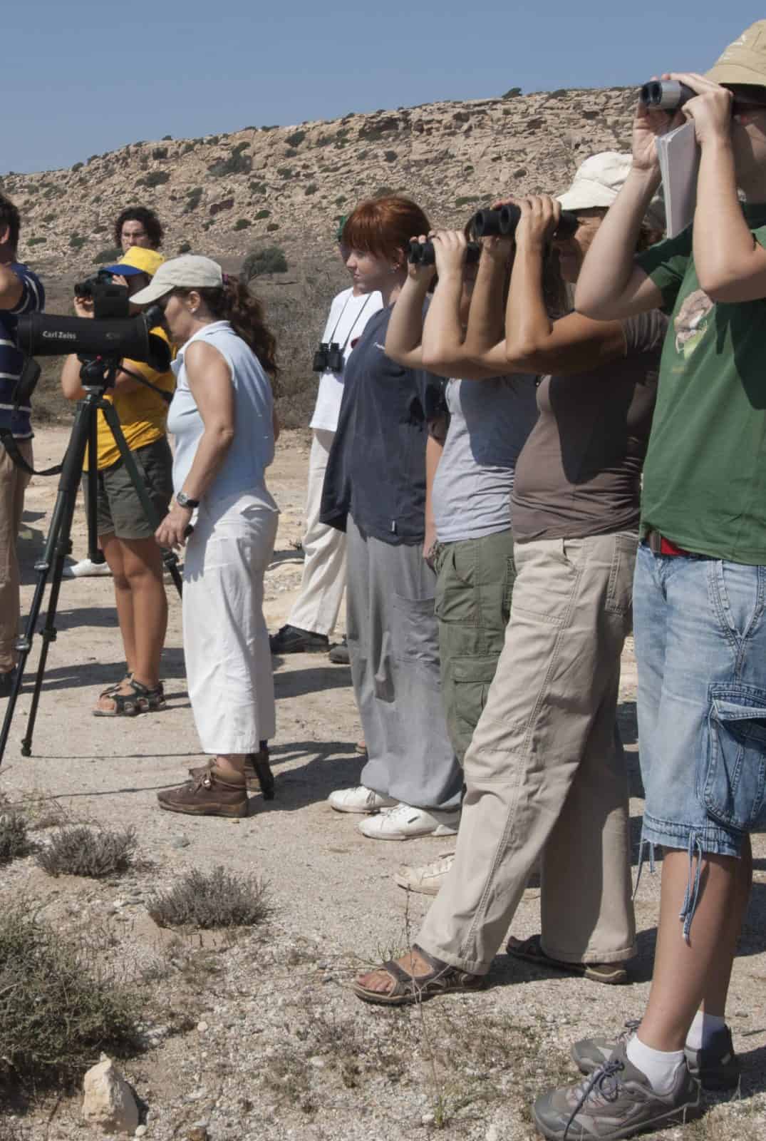
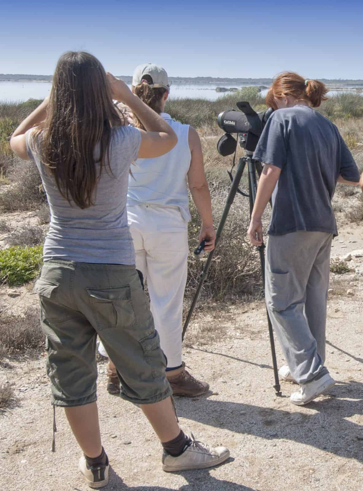
It’s about a four-hour walk along the coast. Of course, whilst birdwatching this will, undoubtedly, take longer.
Aguadulce marina is the starting point. Here you can watch birds that enjoy the shelter and tranquillity in the harbour, as well as food in the shoals of small fish that live in these waters.
Aguadulce’s mainly urban beach is 1900 metres long, and the breakwaters are extraordinary places to watch seabirds at rest.
“La Ventilla” beach, which is just over a kilometre (1,100 metres) long, where it meets the “Palmeral” (Palm Grove) beach. This is where, when it rains “Las Hortichuelas”, one of the area’s great water courses; flows into the sea.
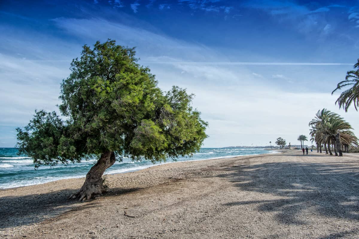
At the beginning of the next leg, the ‘Los Bajos’ beach, there are several interesting elements. From the unique tamarisk trees that grow on the seashore, thanks to the area’s generous geology that discharges the water captured in the neighbouring mountain range, to the ‘Palmeral’, a naturalised palm grove. It is an oasis for birds, especially the small ones that need its fronds to perch on. It is precisely here where other features of interest come together. We are in a place classified as a Site of Cultural Interest, the “Turaniana” archaeological site, an important Roman settlement with its own port, which is now part of the “Posidonia Barrier Reef” Natural Monument, one of the jewels of Roquetas’ coastline. There is another bird-watching site right beside it: La Ribera de la Algaida.
The beach of “Las Salinas” (the Salt Pans) is 1330 metres long and begins precisely where the old access road to this industrial facility, once the key to the local economy and which shaped the landscape, used to be: The San Rafael Saltworks, whose name has been preserved until the mouth of the “Cañuelo” riverbed. The peculiarity of this watercourse is that the rainfall from a quarter of the southern slope of the Gador Mountain Range flows into the sea here, as there is no other watercourse all the way along the rest of the coast, until reaching the west of the district.
From here, towards the south, it is one urban beach after another, the next on this route is the ‘La Romanilla’ beach, which is 1310 metres long and which comes to an end at the port of Roquetas de Mar, the large marina and port facility. This marina, like the one in Aguadulce, is particularly attractive to some birds, especially so because it is also a fishing port.
The Santa Ana Castle, perched on the ‘Laja (Slab) de Roquetas´, is the place where the next beach; “La Bajadilla”, covering a total of 1510 metres of coastline, begins. Upon reaching the original boundary of the Centre of National Tourist Interest (Tourist Resort); the beach changes its name for Urbanisation of Roquetas de Mar, for almost two kilometres, right up to where the next beach, “Playa Serena”, which is almost 1780 metres long begins.
The last stretch of beach, and of this route, begins at the boundary between the “Punta Entinas-Sabinar” Nature Reserve and the resort, near “Laja del Palo”. From this point, motorised access is through the protected area; it is therefore advisable to proceed on foot along the GR-92. This path runs parallel to the coast for 1,300 metres, at which point it turns northwards and separates from the beach. The route continues along the beach for almost a thousand metres more. Along this stretch there is a parallel dirt track, separated from the beach by a narrow dune immobilised by vegetation.
Locations that can be accessed from this excursion: All.


